From the sea.
To the screen.
To better decisions.
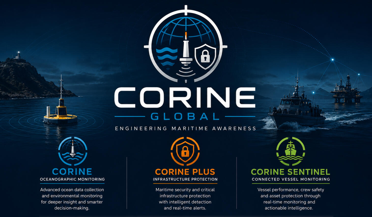
A connected weather buoy that turns changing ocean conditions into useful information for people operating at sea.

Navigation overview
A quiet start.
On calm water, the buoy collects observations about its surroundings. Its solar panel supports autonomous operation while onboard sensors record changing marine conditions.
The ocean is always moving.
Wind and waves build. The buoy begins to pitch, roll and rise with the water. Movement and wave observations can help characterise the sea state and how conditions evolve over time.
Every observation has a journey.
Where mobile coverage is available, the buoy can transmit collected information over 4G. Repeated data packets travel from the deployment area towards the shore-side platform.
From signals to a clearer picture.
At the shore-side system, incoming data can be stored, organised and visualised. This creates a place to review observations, understand trends and prepare information for operational use.
Useful information travels back.
Configured services can make the resulting report available to a vessel or remote operator. The return journey depends on the communications link and the systems deployed on each end.
A view that supports decisions.
Back on the vessel, a navigation display can present the received marine weather information alongside the operator’s other navigational sources. The aim is to add context—not replace proper navigation practice or judgement.
A better picture of the sea.
Connect observations from the marine environment to the people who need them. Modular sensors and connected systems can support operational planning, environmental observation and marine research.
Discuss a monitoring project ↗
Better data. More informed decisions.